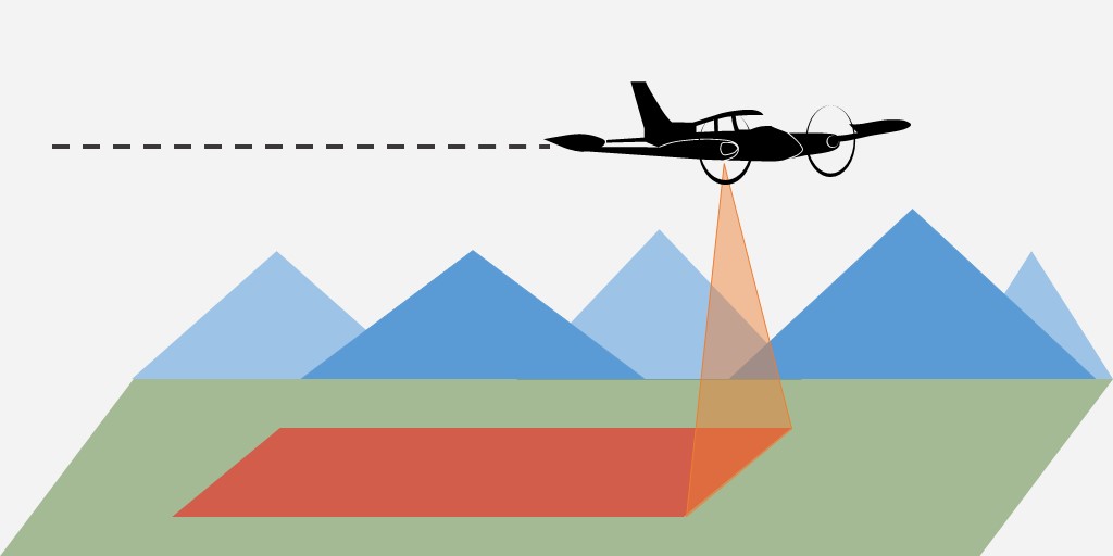
Surveying Altitude The surveying altitude of a project might easily be underestimated in its importance among surveying parameters. Evaluating the optimal flight level has direct influence on both the data itself as well as the cost of acquiring the data. Continue Reading →
Awesome basemap layer for your QGIS project If you are like me, you probably spend a decent amount of time in your GIS software, right? Continue Reading →
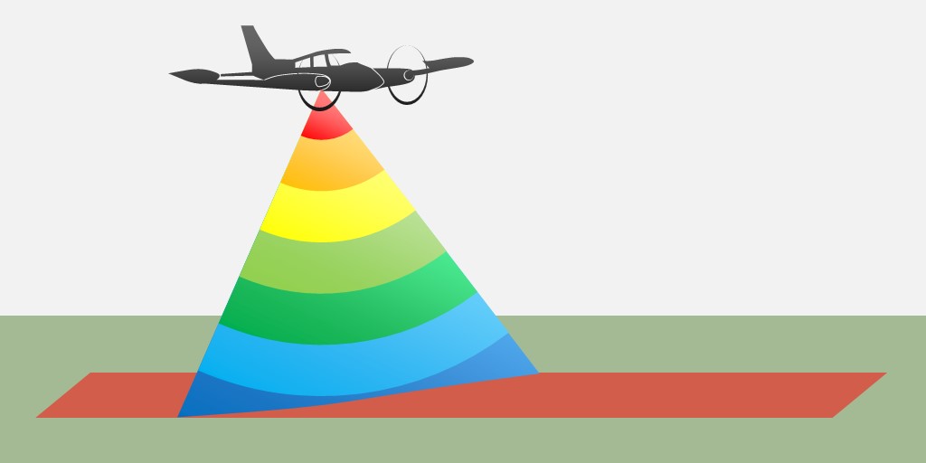
LiDAR Footprint Diameter When dealing with LiDAR we commonly refer to points, returns, pulses or waveforms. Continue Reading →
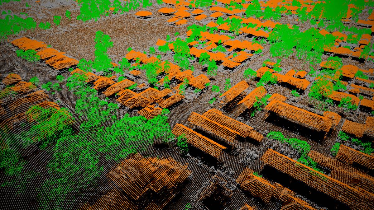
Point Density and Point Spacing The most prominent attribute of a point cloud is definitely it’s point density. Continue Reading →
Blog Series: Parameters of Airborne LiDAR Survey Technology can be mind-boggling but is it also complicated? Continue Reading →
Intergeo 2015: Rise of the Machines It is the year 2015, drones and robots are dominating our world… what reads like a science fiction novel could well be true as well for this year’s INTERGEO. Continue Reading →
What is range gate and how do LiDAR sensor manufacturer deal with it? The fundamental basics of airborne LiDAR scanning are fairly simple. Continue Reading →
Four essential LiDAR parameters When doing LiDAR surveys our system operators plan and adjust a wide range of settings. Continue Reading →
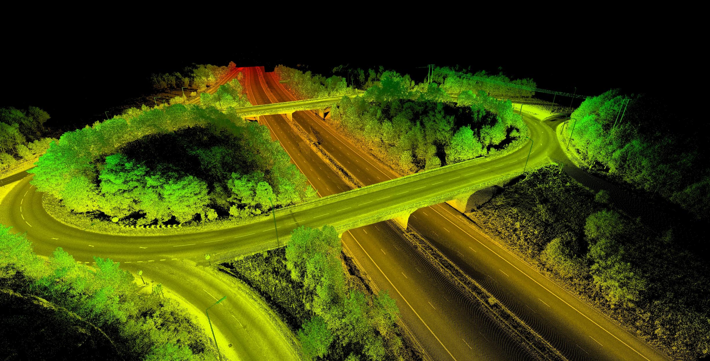
An Introduction to LiDAR LiDAR is a survey technology which allows to measure points in the 3-dimensional space. Continue Reading →