
If you are like me, you probably spend a decent amount of time in your GIS software, right? I’m by far not a GIS expert, but my trusty QGIS allows me to quickly visualize flightlines, area of interests, airport locations, … while at the same time being a universal solution for all kind of conversions, geoprocessing and georeferencing tasks.
Easily visualize your data with a basemap
Talking about visualization you probably want to have some good looking basemap in addition to your plain vector layers. Of course the very popular Openlayers plugin is great for that. It easily integrates in your QGIS menu and will give you the option of adding the most common basemap layers to your project. Unfortunately though there is not much you can adjust afterwards. One of the most common things I would like to be able to do is to add some layer transparency which unfortunately is not possible. This is were GDAL layers come to the rescue!
GDAL basemap layers
I stumbled upon this blogpost while looking for some new WMS layer that I could use. The article describes how you are able to add WMS, TMS, TileService and other provider into QGIS. First an xml-file has to be created which can then be added to your QGIS project like any other regular raster layer. Why go through all this trouble? The GDAL layer that you just added will now allow you to change all properties like you would do for any other raster layer.
Intrigued by the article I soon found myself trying out different WMS and TileSerivces. Quickly I realized that it is crucial to know the exact parameters of the service used and how to correctly add them to the xml-file. Luckily the GDAL website explains the structure of the file in detail and even gives some examples there.
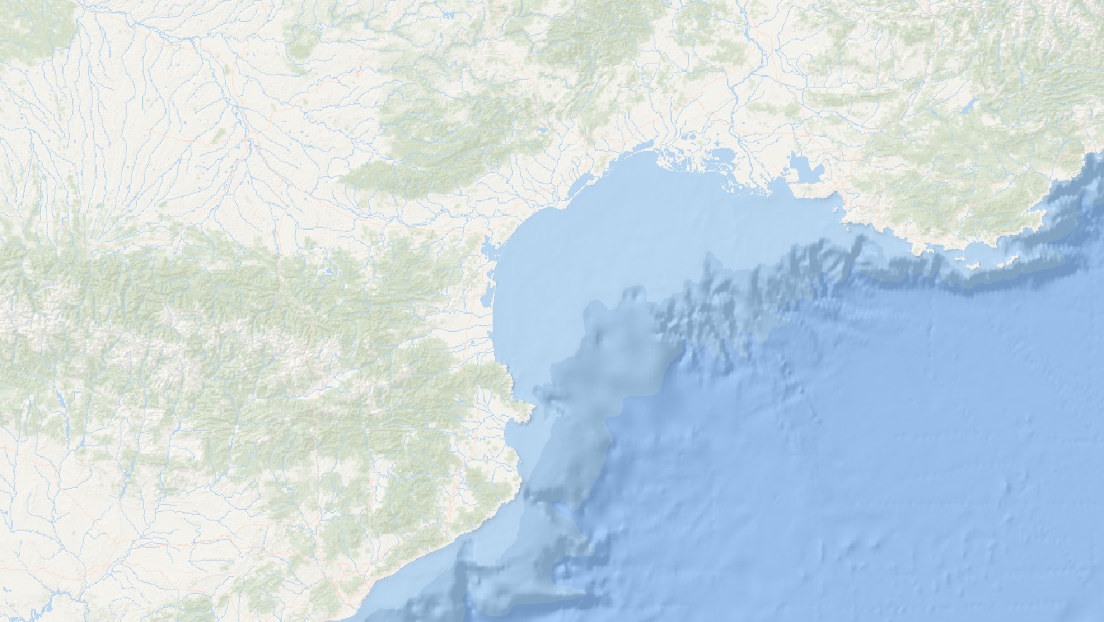
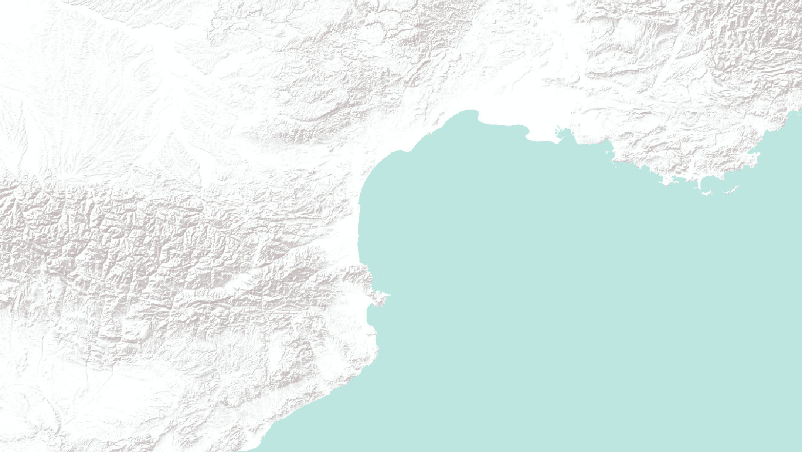
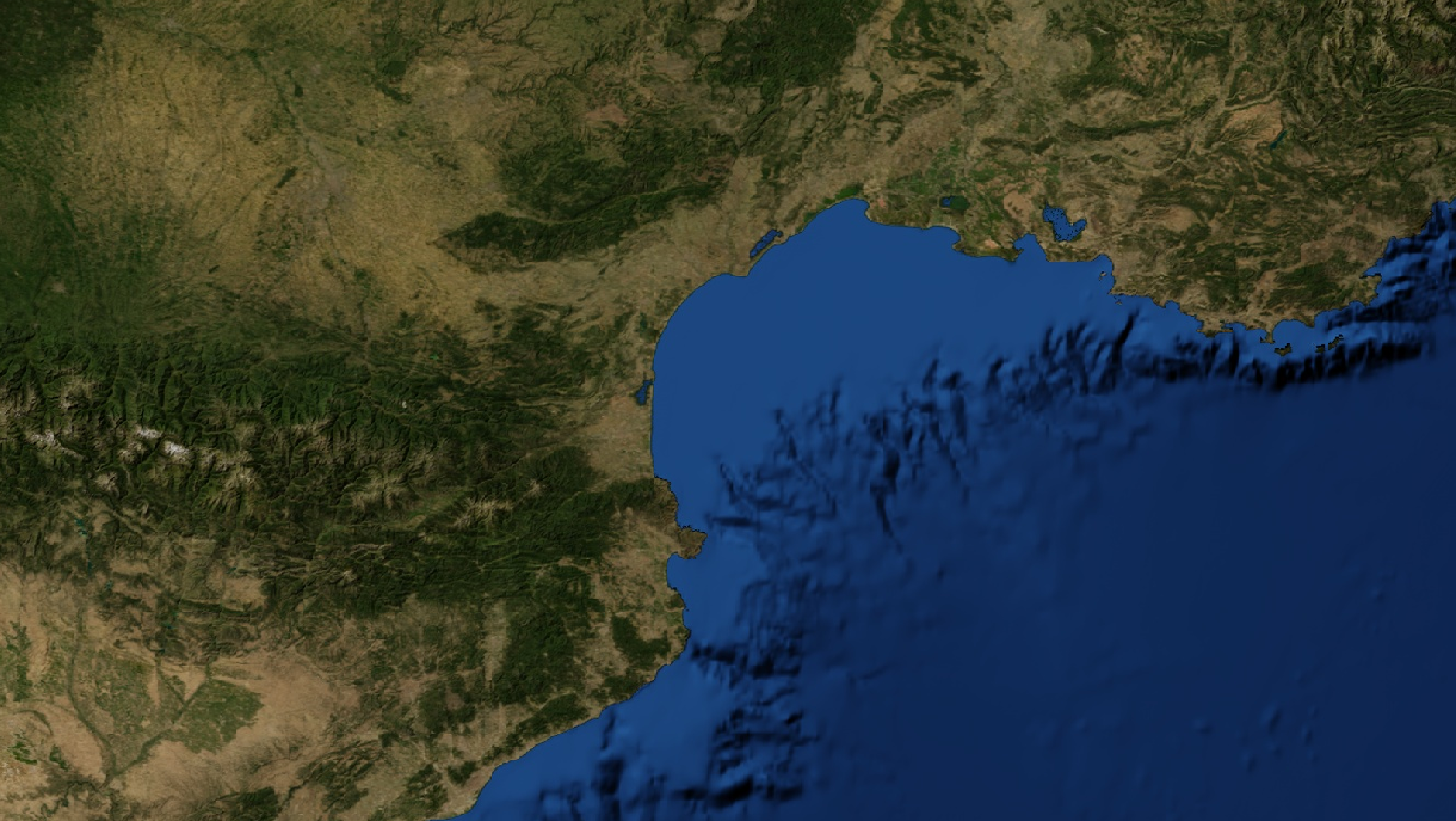
Browsing through various services I decided to pick some and turn them into GDAL xml-files so that I can use them as basemap for future projects. My absolute favorite is the SRTM layer – this will make things so much easier as I will no longer have to download different tiles for my projects anymore…
Some examples of GDAL raster layers
Feel like giving them a try? Go ahead, I listed them below for you to download and import into your QGIS project:
Of course there are endless more that could be created. What do you use as basemap for your projects? Any specific layers that you want to see as a GDAL xml-file? Let me know in the comments below…
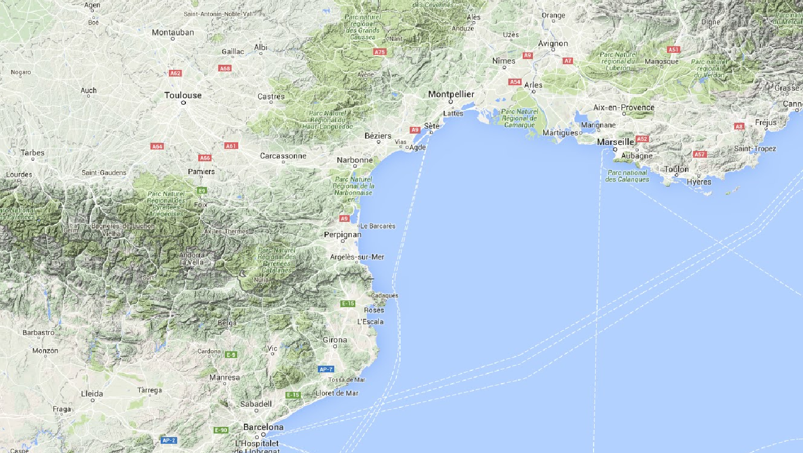
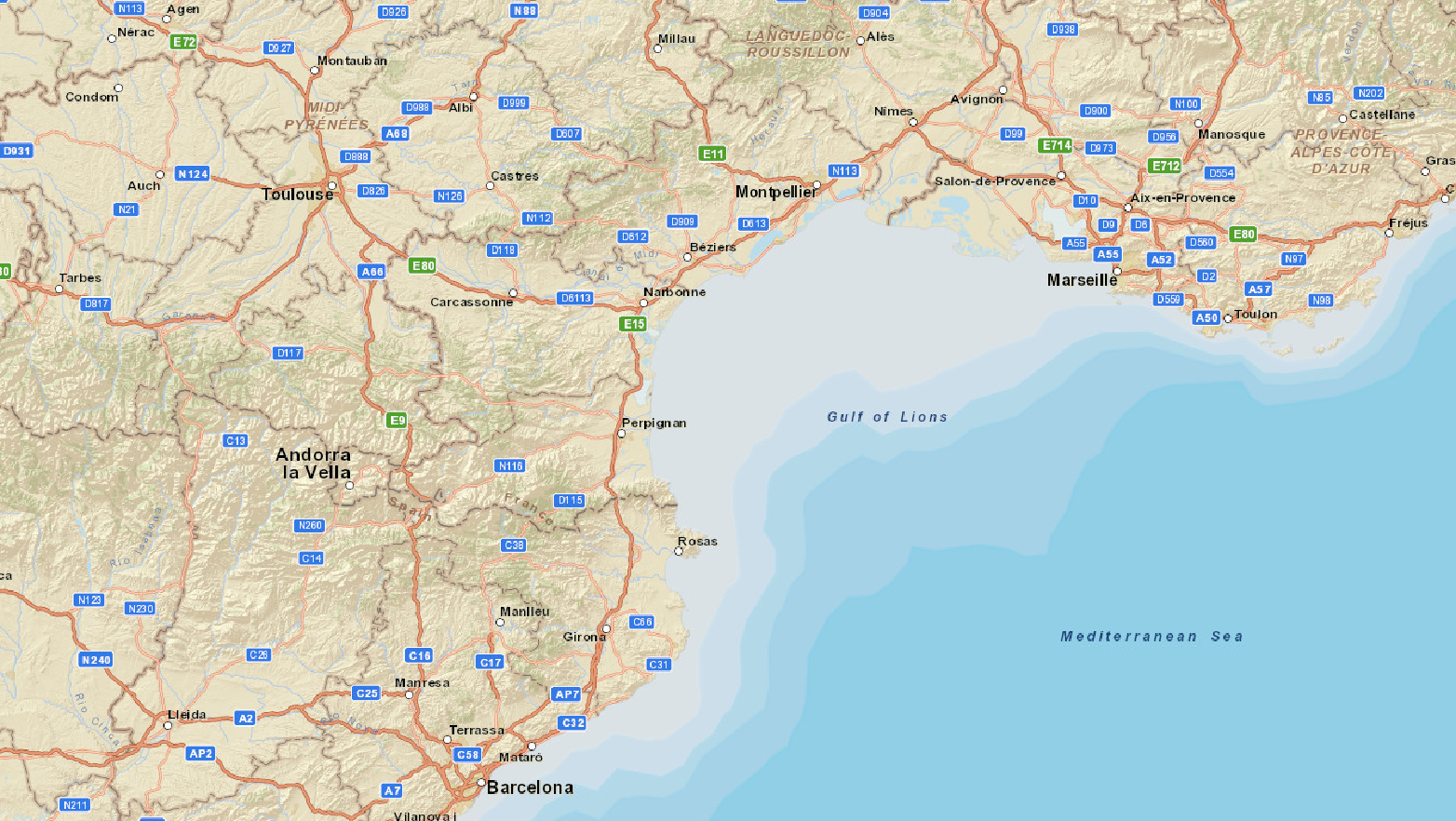
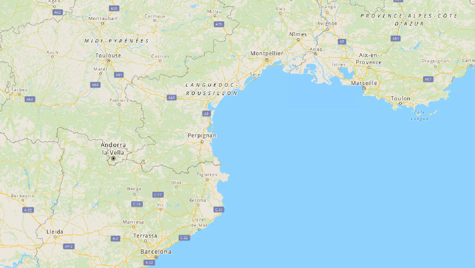
Google Maps
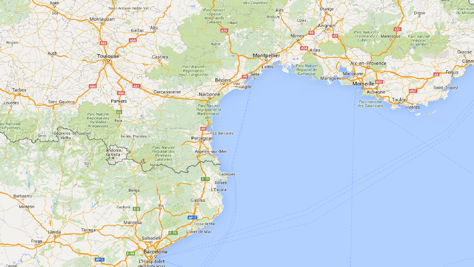 |
Google Maps Layer |
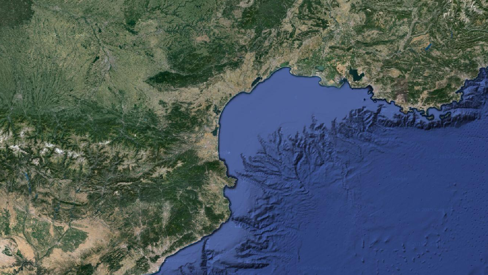 |
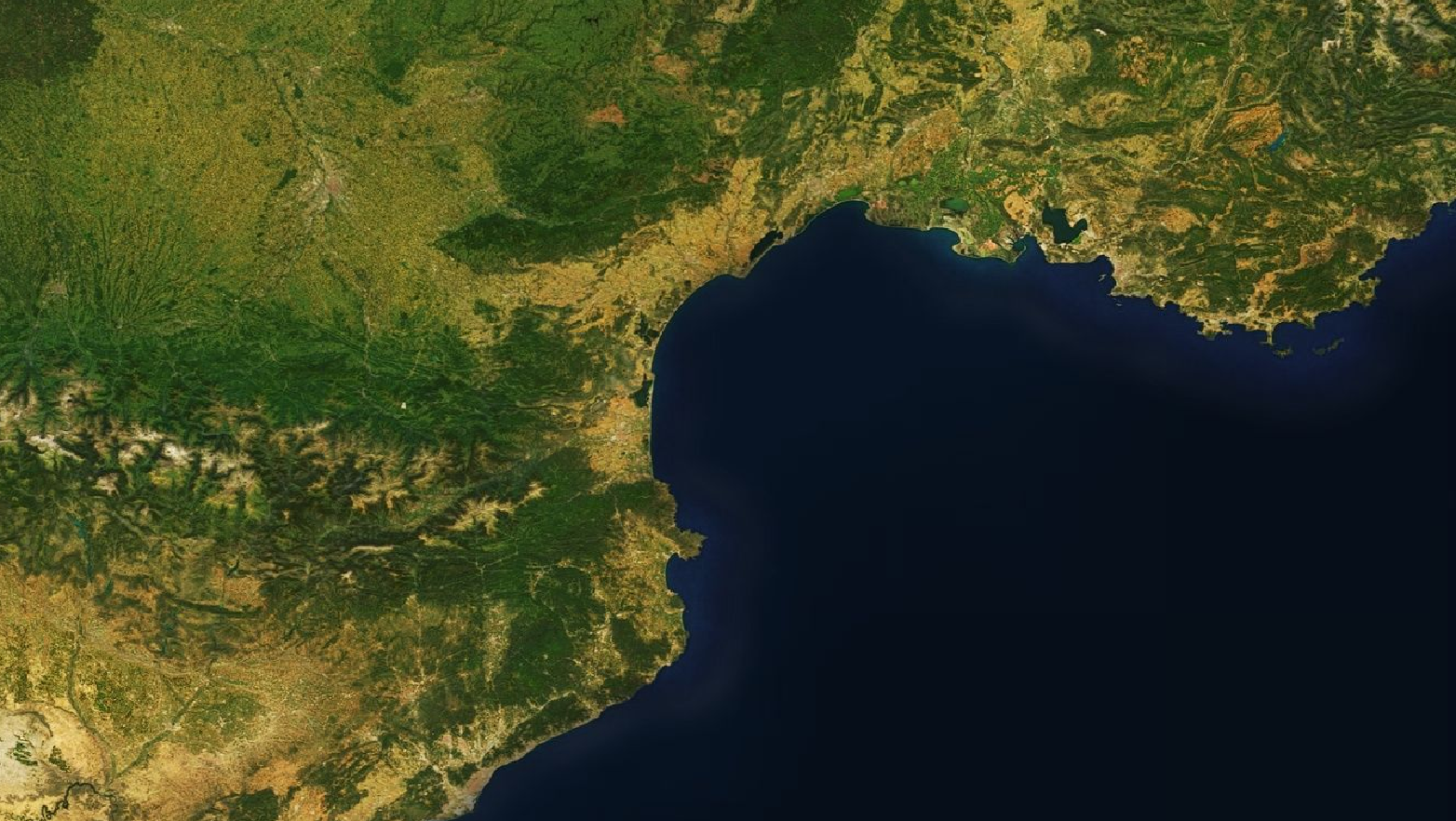
Google Maps Satellite Layer |
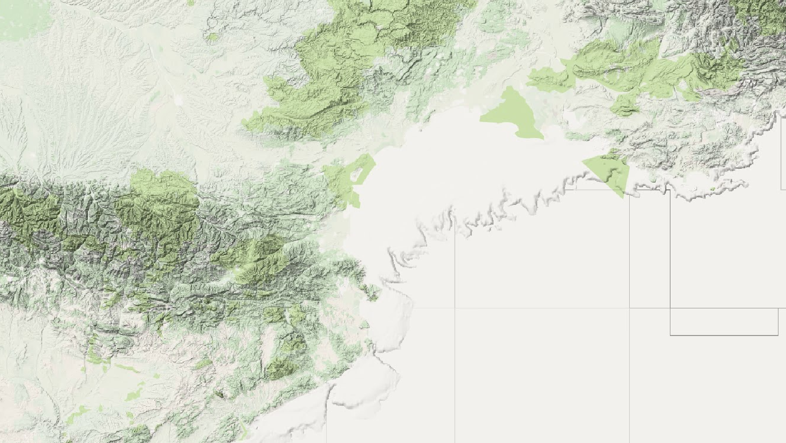 |
Google Maps Terrain Layer |
 |
Google Maps Terrain Layer with Streets and WaterGoogle Terrain, Streets, Water GDAL basemap layer (8496 downloads ) |
ESRI
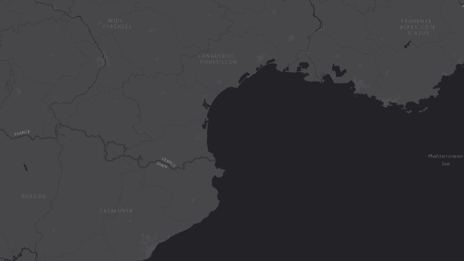 |
World Dark Gray Baselayer |
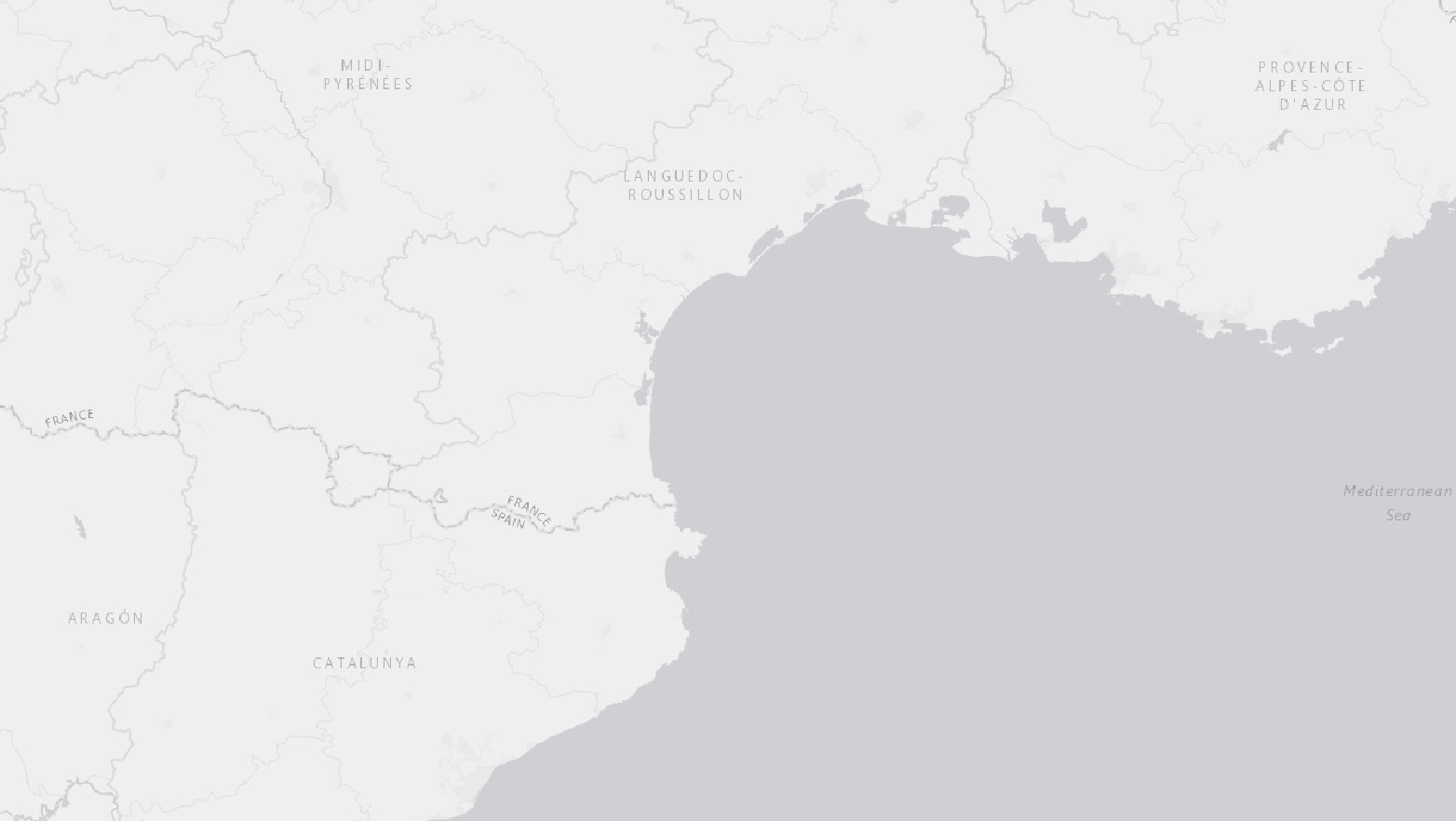 |
World Light Gray Baselayer |
 |
World Ocean Baselayer |
 |
World Terrain Baselayer |
 |
ArcGIS World Street Layer |
MapQuest
 |
MapQuest Open Aerial Layer |
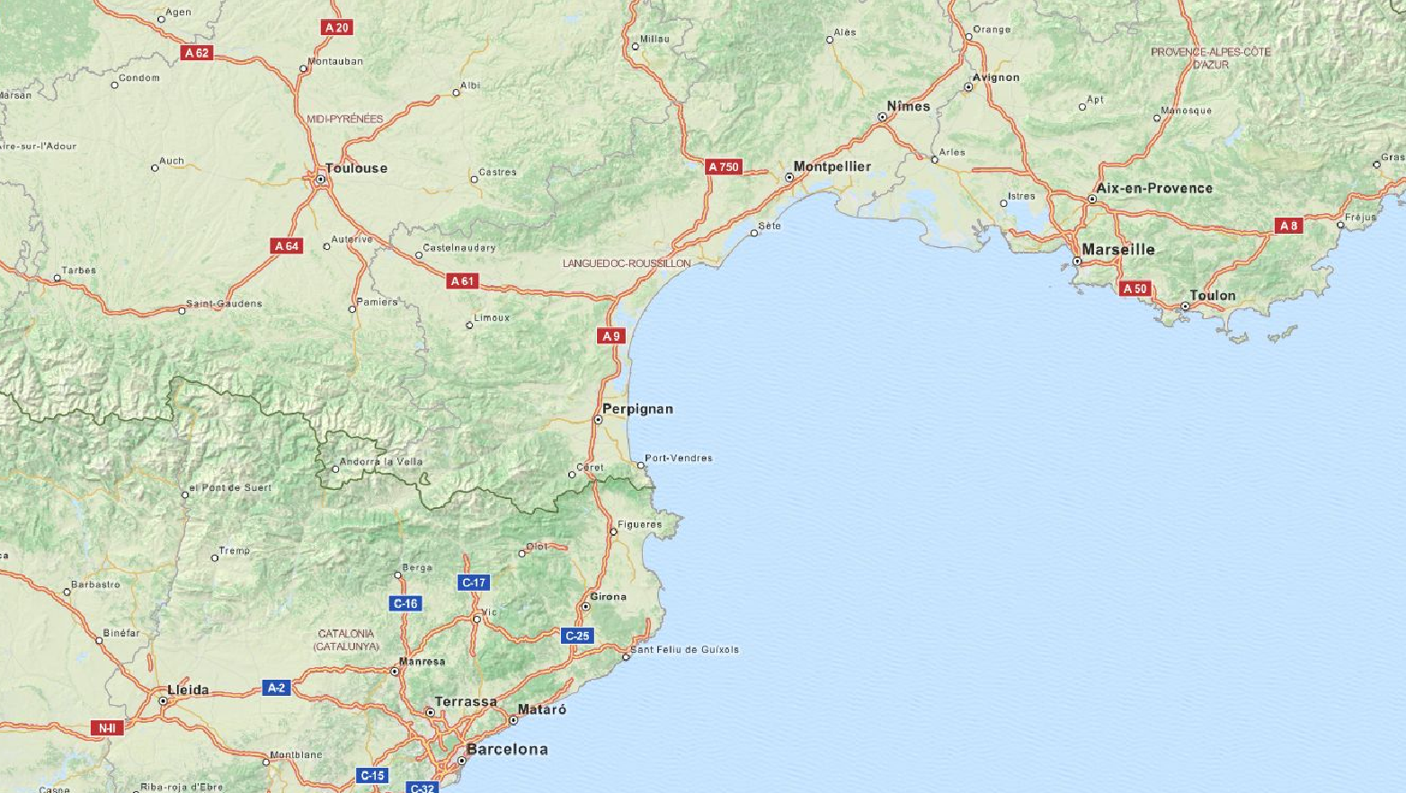 |
MapQuest OSM Layer |
Mapnik
 |
Mapnik OSM Layer |
 |
Mapnik OSM Black and White Layer |
Other
 |
Skobbler OSM Layer |
 |
Mapbox Satellite Layer |
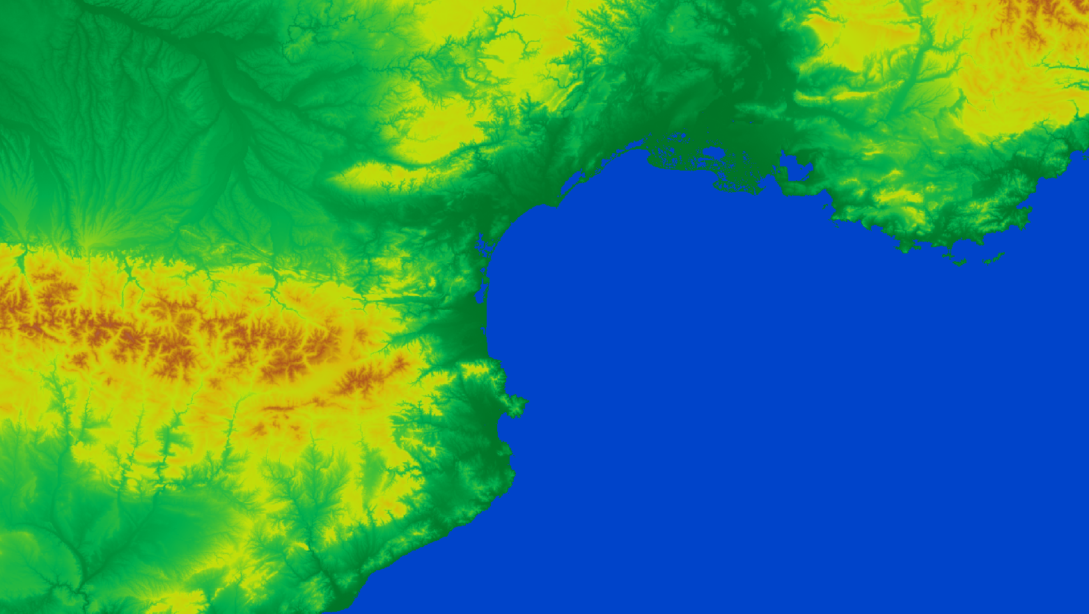 |
SRTM Layer |