If you are like me, you probably spend a decent amount of time in your GIS software, right? I’m by far not a GIS expert, but my trusty QGIS allows me to quickly visualize flightlines, area of interests, airport locations, … while at the same time being a universal solution for all kind of conversions, geoprocessing and georeferencing tasks.
Easily visualize your data with a basemap
Talking about visualization you probably want to have some good looking basemap in addition to your plain vector layers. Of course the very popular Openlayers plugin is great for that. It easily integrates in your QGIS menu and will give you the option of adding the most common basemap layers to your project. Unfortunately though there is not much you can adjust afterwards. One of the most common things I would like to be able to do is to add some layer transparency which unfortunately is not possible. This is were GDAL layers come to the rescue!
GDAL basemap layers
I stumbled upon this blogpost while looking for some new WMS layer that I could use. The article describes how you are able to add WMS, TMS, TileService and other provider into QGIS. First an xml-file has to be created which can then be added to your QGIS project like any other regular raster layer. Why go through all this trouble? The GDAL layer that you just added will now allow you to change all properties like you would do for any other raster layer.
Intrigued by the article I soon found myself trying out different WMS and TileSerivces. Quickly I realized that it is crucial to know the exact parameters of the service used and how to correctly add them to the xml-file. Luckily the GDAL website explains the structure of the file in detail and even gives some examples there.
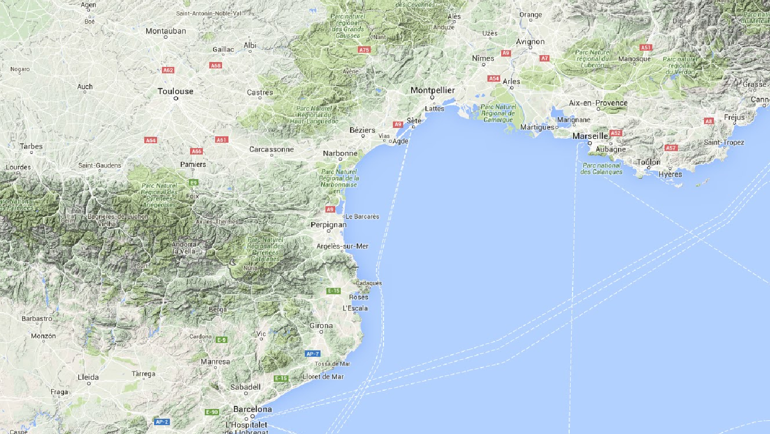
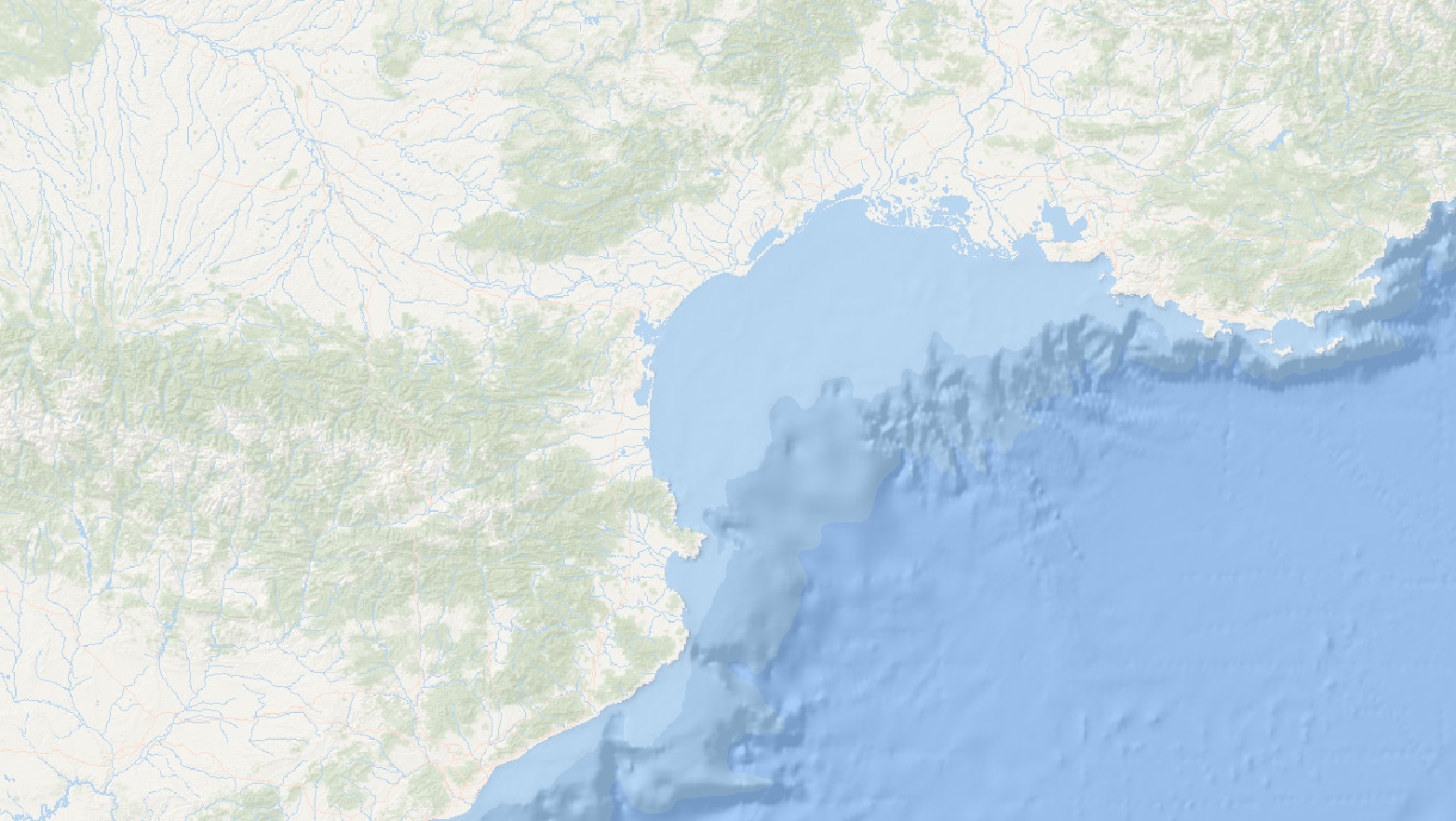
Browsing through various services I decided to pick some and turn them into GDAL xml-files so that I can use them as basemap for future projects. My absolute favorite is the SRTM layer – this will make things so much easier as I will no longer have to download different tiles for my projects anymore…
Some examples of GDAL raster layers
Feel like giving them a try? Go ahead, I listed them below for you to download and import into your QGIS project:
Of course there are endless more that could be created. What do you use as basemap for your projects? Any specific layers that you want to see as a GDAL xml-file? Let me know in the comments below…
Google Maps
 |
Google Maps Layer |
 |
Google Maps Satellite Layer |
 |
Google Maps Terrain Layer |
 |
Google Maps Terrain Layer with Streets and WaterGoogle Terrain, Streets, Water GDAL basemap layer (10191 downloads ) |
ESRI
 |
World Dark Gray Baselayer |
 |
World Light Gray Baselayer |
 |
World Ocean Baselayer |
 |
World Terrain Baselayer |
 |
ArcGIS World Street Layer |
MapQuest
 |
MapQuest Open Aerial Layer |
 |
MapQuest OSM Layer |
Mapnik
 |
Mapnik OSM Layer |
 |
Mapnik OSM Black and White Layer |
Other
 |
Skobbler OSM Layer |
 |
Mapbox Satellite Layer |
 |
SRTM Layer |
Great!!!
is there any way you could create one with terrain, water, streets but no street names?
These layers are not created by me, rather I use existing free layers and create the GDAL xml-file for them. Would you have any example of a WMS- or Tileserver that has the map style you are looking for?
I really like you Google Maps Terrain Layer with Streets and Water .xml but would like to have it without the street names, and identified locations like schools , restaurants etc.
Unfortunately I am having a hard time finding an exact example.
It would be great if the zoom levels for the services could be defined in the xml files. Making the tiles draw at only the zoom levels they were designed to be viewed at instead of getting a pixelated or fuzzy image for scales between publish zoom levels.
Esri terrain layer is not working for India :(
hmm… tested it here and it seems to work… could it be that the Esri server is blocked for users in India?
Hi, fisrt of all thanks for sharing! I can not load the xlm files, waiting about 5 minutes and after that qgis crashes. Any suggestions?
I know that some of the servers tend to be slower than others, but never had it crash on me. Are you using the latest version of QGIS?
I had a problem with the OSM b/w, the Esri one loads normally. Thanks a lot for the help and for sharing these valuable files! I will try one more time with the latest Qgis version.
Hello, thank you for this blog. Im from Argentina and i dont write good in english. My question for you is : ¿Do you know the year of the Google Satellital image xml? I need a newer image and i dont know what year is that. Thank you !
Unfortunately I have no information about the acquisition date for the Google Satellite Imagery.
I also assume that the whole layer is combined from several images and the date will therefore be different depending on the area you are looking at.
Maybe Google Earth can help you to identify the year of the imagery? Activate the historic imagery feature (toolbar>little clock icon button next to the sun button), this allows you then to jump backwards and forwards between different image sets. In the footer it will then tell you the date the image was acquired.
For private and research use, you might also want to take a look at Google EarthEngine (https://earthengine.google.com/). Google collected various imagery sources there.
Hello Felix. How are you? Im Pablo again. I am using the Google_Satellite xml image to work in my project but since today when i make a full zoom tu an area… 1 block, for example, the image turn black. This had never happend before today with your image. I worked fine making full zooms since today. I would like to know what happens with de image or if it is something else i dont know?… Thank yo very much. Excuses for my poor english. Pablo.
Hi Felix,
the title of the website is really true: “Awesome Basemap Layers …”.
Thank you for that.
I’m just starting to use qgis and needed a simple way to integrate the Google terrain feature. Your solution is the perfect way.
Now I tried to integrate the opentopomap.org but unfortunately I failed. Maybe it’s a simple thing for you to create the respecive xml file for the opentopomap project?
Thank you!
I tried playing around with some settings for the opentopomap project but have not yet found a working configuration. In the meantime though I found an alternate way of adding such tilemap layer to QGIS: https://felix.rohrba.ch/en/2017/easily-add-tilemap-layers-qgis/
Give this a try! I used opentopomap as an example so you should have no troubles copying my steps…
Thank you very much!!!! :D
Excellent contribution!…thanks Felix. I’m an amateur in this field and was really helpful to have this basemaps…
Hi Felix, I tried to import the SRTM layer, the import seems to work but I just get a black layer, seems the raster is not displayed properly. This also happens e.g. with the mapnik layers. Actually any hint is appreciated whether there could something wrong in the xml or is it an issue with the QGis properties, e.g. projection. Thank you. I am using version 2.18.13
I have to test this and see where the problem lies. For the mapnik layer at least you can also use the tilemap method in QGIS: https://felix.rohrba.ch/en/2017/easily-add-tilemap-layers-qgis/
You can get the URL from within the XML file (just remove the “$” signs). For some reason this doesn’t work for the SRTM layer as it does not recognize the projection correctly.
Thank you! You helped me very much. Can you make xml for Google Hybrid map and Bing maps?
Hi Felix, where can we find the links to download the basemap layers that you present!!!
Ouch – it seems that an update of the download plugin removed all the links – should be fixed now…
Hi Felix, for a reason that I do not understand the URL links does not seem to work when I add it in the XYZ tiles in QGIS, for exemple Google Maps Terrain Layers with Street and Water “http://mt.google.com/vt/lyrs=p&x=${x}&y=${y}&z=${z}” does not work. I have the same problem with the other URL links. Thank you
Hi Frédéric, these downloads are supposed to be added as raster files… download the xml file and use the add Layer option in QGIS. Tested the Google Maps Terrain/Street/Water in the latest QGIS and it loads just fine.
Hi Felix, the good URL link for Google Maps Terrain Layers with Street and Water is “https://mt1.google.com/vt/lyrs=p&x={x}&y={y}&z={z}” and not “http://mt.google.com/vt/lyrs=p&x=${x}&y=${y}&z=${z}”. You should check the other URL links.
Hi Felix, I have downloaded the XML files (it actually works better with Chrome rather than Edge) and it works fine with me too. However, if you have to do nice map with really good dpi, I highly recommand to use xyz tile server connections. Thank you again for your help.
awesome works!! it works very well in QGIS. Just want to know, how to load it on arcmap?
Thanks!!!! Question: any reason the terrain layer looks very dark in QGIS 3.4.0? Thank you again!!!
Hi Felix!
How to edit the files to work with https://www.hitta.se/kartan and/or https://kartor.eniro.se/ ?
Best Regards,
Mats
Hi Felix, thanks a lot for your awesome work, I used your Google Terrain XML for some QGIS work a year ago – but returning to my old file, it seems that the XML does not work properly (with QGIS 2.18.3) as it only displays black terrain. Your help would be much appreciated! Thanks, Dominik
Hello Felix, Noting can’t be downloaded. Clicking the link downloads an error file!
Hi Josin, seems like switching the site to https messed with the downloads… should be fixed now…
That worked really well (took only seconds to insert into QGIS), thank you so much!