Smart city is a term that is more and more used, not only in the field of geospatial information but generally for all things related to life in and around our agglomerations. Many sectors – traffic, pollution, retail, entertainment, security … just to name a few – are trying to see if this magic smart city approach can help solve some of their problems. But what is this smart city?
Putting the smart into a city
There is many definitions about what a smart city is. Personally I tend to agree with the definition found on wikipedia:
A smart city is an urban development vision to integrate multiple information and communication techology (ICT) and Internet of Things (IoT) solutions …
This definition can easily be applied to any of the before mentioned sectors and even for the geospatial business. Advances in technologies have pushed the envelope further over and over again for analyzing data. Smarter algorithms, machine learning or even artificial intelligence allow us today to get more actionable insights from our data than only a few years ago. Just imagine the possibilities what can be achieved by integrating more and more data sources.
Main ingredients for a successful smart city strategy
With no city being like any other, it seems logical to me that there can’t be a universal solution for successfully implementing a smart city solution. But there are several building blocks that can help to realize this vision:
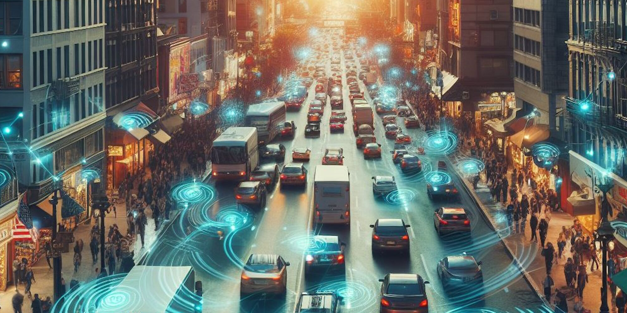
#1: Connected data sources
With technology surrounding us everywhere we go it is no surprise that the amount of sensors and devices used for all kind of measurements has increased drastically. It is the recent developments in connecting these devices – the Internet of Things – that has opened the door for new applications and use cases.
In order to handle the shear amount of data it might sometimes make sense to aggregate different sources into a single datapoint. This way “big data” can be reduced to trends, outliers, patterns or other insights that can be used further.
Another way for collecting data is by involving the user or citizen themselves. Such crowdsourcing approach can produce incredible results (just look at the current state of OpenStreetmap as an example) and can produce valuable insights into different communities (an example for that could be the Finnish start-up Maptionnaire).
#2: Integrating platform
Of course all these data collecting sources are of no use to a smart city strategy if they can’t be collected and analyzed. It will therefore be important to have a platform acting as a link between data and information. An important decision will be who is going to have access to the collected data. Open data has shown that once people have access to data, amazing information can be extracted from it.
Before releasing all the data to the public though, legal aspects and privacy concerns need to be considered. Depending on the local regulations, personal information might be removed in order to make the data more anonymous. With the recent increase in concerns regarding privacy, being transparent about how data is used and distributed can help to reduce people’s worries and convince them to contribute data for your smart city strategy.
#3: Smart services
With all these data sources, the data itself becomes a commodity – a resource that needs to be crafted into actionable information. This is where smart services come into play. Through the integrating platform data is available to be combined, processed and analyzed. Depending on the access to the data not only city officials but also third-party companies will be able to provide their services. By feeding the results of these processes back into the integrated platform the results themselves can then be used as an input to look for new insights.
Given that the data sources can change over time or that additional data might be added to a dataset, these smart services should be automated (to continuously analyze new data), scalable (to handle the increasing data loads) as well as integrateable (not only with the integrating platform but also towards outside solutions like i.e. GIS interfaces).
There is many examples how shared data can result in new products. I recently stumbled over this nice blog article by Brendan where he describes how to use open accessible LiDAR data to extract building height information: http://blog.nadnerb.co.uk
If you have a few minutes, definitely also watch this (a bit older) presentation by Tim Berners-Lee on how open data is shared and used:
#4: Open Formats and Standards
Enabling all this interaction will be open formats and standards. A locked-in platform with proprietary formats might appear like a solid choice. But by not following open or well-documented formats that are commonly used, proprietary formats only add an extra hurdle for using the data to gain valuable insights. The same goes for any integrations or interfaces (API’s) your software of choice can provide. Using common standards will help that your smart city solution can be used by a wider community therefore thriving innovation towards a better future.
If you want to have a more detailed read on why locked-in systems might be bad for your smart city efforts you might want to go ahead and read this article on phys.org: http://phys.org/news/2016-09-smart-cities-locked-in.html