PhoWhat?
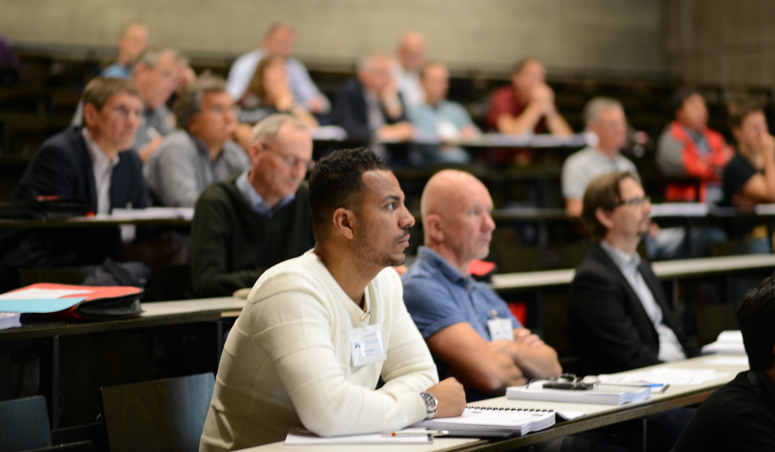
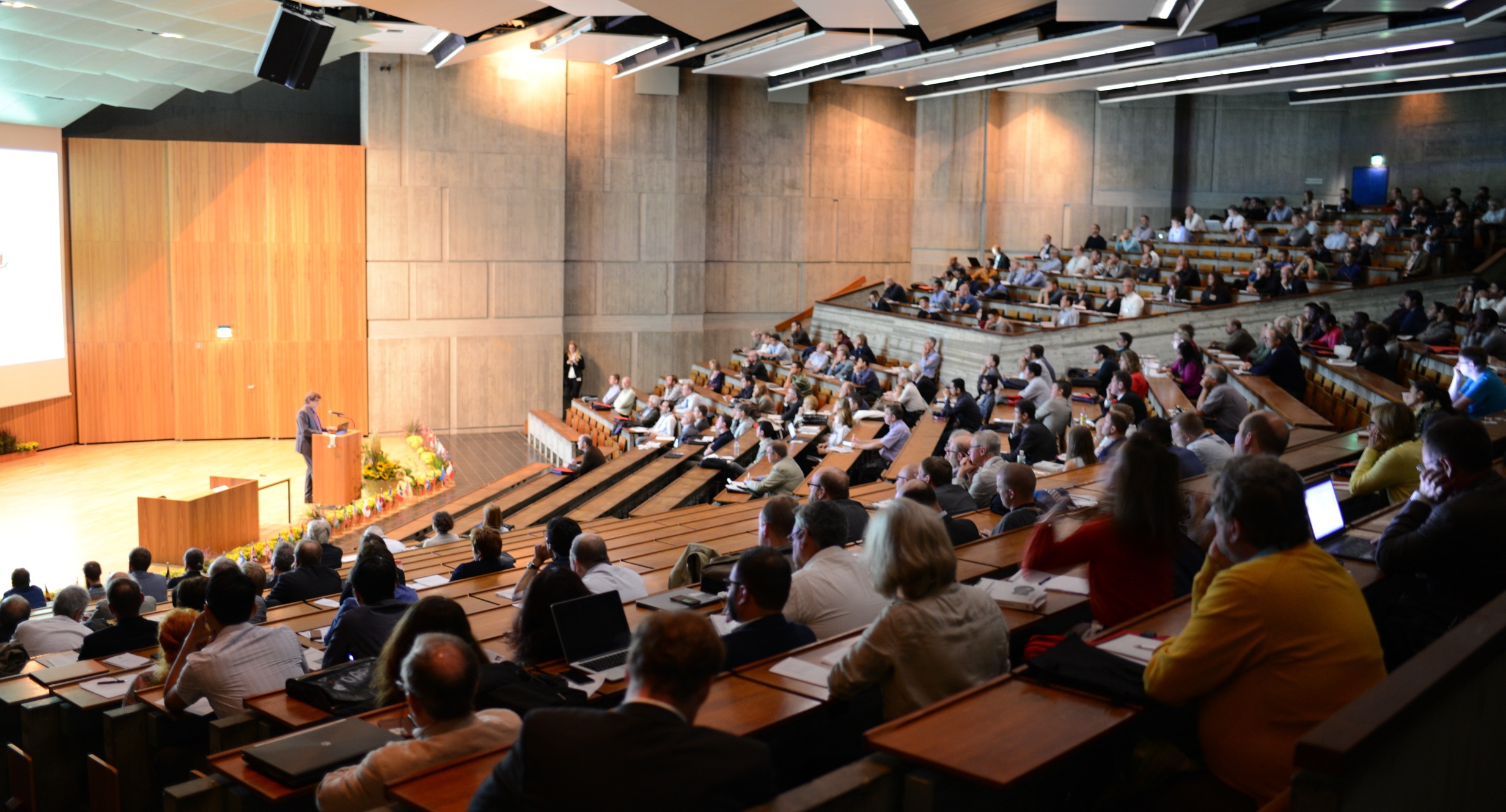
Just a week before the upcoming Intergeo, photogrammetry experts met in Stuttgart for the 55th Photogrammetric Week – or PhoWo (short for “Photogrammetrische Woche”). Organized by the Institute of Photogrammetry of the University of Stuttgart, this bi-annual event is international recognized as a platform to exchange knowledge in the field of photogrammetry and remote sensing.
The organizers are kind enough to make the proceedings of the conference publicly available, which allows people like me – who were not able to attend in person – to inform themselves about the presentations given
Review of recent developments
Taking place only every second year presenters often take this opportunity to summarized previous developments in their fields. Through these reviews the development of photogrammetry and remote sensing can nicely be seen within the archives of the meeting.
If you are trying to catch up with the latest technologies, I would therefore highly recommend to read the following paper of the proceedings:
- Oblique Aerial Imagery – A Review / Fabio Remondino
- LiDAR: Exploiting the Versatility of a Measurement Principle in Photogrammetry / Norbert Pfeifer
- Recent Developments in Large-scale Tie-point Search / Konrad Schindler
- Advances in Close-Range Photogrammetry / Clive Fraser
3D modelling
Recently, a lot of advances have been made in the 3-dimensional modelling or reconstruction of buildings and objects. Using the latest algorithms and procedure these authors showed at PhoWo how today’s huge amount of digital data can be used to create 3D models – from single buildings and objects all the way to nationwide datasets:
- From Orientation to Functional Modelling for Terrestrial and UAV Images / Helmut Mayer
- Image-based 3D Data Capture in Urban Scenarios / Norbert Haala
- The 4D-CH Calw Project – Spatio-temporal Modelling of Photogrammetry and Computer Graphics / Michael Klein
- From Nationwide Point Clouds to Nationwide 3D Landscape Models / George Vosselman
- CityGML goes to Broadway / Thomas H. Kolbe
Big data
In the field of photogrammetry and remote sensing we are certainly aware of big datasets. In this context though we are not talking about large files, but more about huge amounts of individual observations or measurements. Data collected by multiple sensors, persons – either on purpose or passively. Analyzing such datasets requires finding the balance between oversimplifying (and maybe losing information) and keeping too much information (which might not reveal patterns or other common attributes). Putting observations on a map allows to structure big data by their geospatial context. Points can become clusters and trajectories turn into patterns. The following papers from PhoWo look at big data and possibilities on how to analyze it:
- Interpretation of Moving Point Trajectories / Monika Sester
- GeoVis – From Terrain to Tweets and Movements / Thomas Ertl
- Public Sensing – Using Your Mobile Phone for Crowd Sourcing / Kurt Rothermel
Precision agriculture
More compact sensors have made it possible that cameras, thermal sensors and LiDAR scanner can nowadays easily be attached to remotely piloted airborne vehicles or UAVs. In agricultural applications such information can support farmers in their decision making when managing their fields in order to optimize the yields.
- 3D Data Acquisition to Monitor Cropping Systems: Sensors and Methods / Georg Bareth
- Early Identification of Plant Stress in Hyperspectral Images / Lutz Pluemer
PhoWo 2015 – Summary
 Once again there seems to have been a lot of interesting topics at the Photogrammetric Week in Stuttgart. The above mentioned articles are just a selection of the complete conference proceedings and I highly encourage you to browse through the full list of papers. Besides the main topics that I covered, you will find many more applications of photogrammetry and remote sensing – all the way to creating a 3D Avatar for virtually trying on clothes.